What is remote sensing doing for food security?
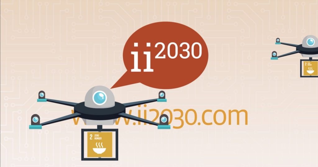
Remote sensing can fill data gaps: Satellite and drone-based imagery and data can be used to identify which crops are grown where and how, and to assess damages in case of disaster. This information also allows to predict crop yields and the spread of pests and diseases. Information about water availability and soil conditions helps to improve crop management.
How would an inclusive system look like?
• Enough good food for everyone. Today, more than 800 million people suffer from hunger. SDG2 sets the goal to end hunger and ensure access by all people to safe, nutritious and sufficient food all year round by 2030.
• Small farmers have access to insurance. Insurance is an effective risk-management mechanism, But out of 1.5 billion individual smallholders in low-income countries, only 198 million have some form of agricultural insurance coverage (mostly China and India). Insurance can protect farmers from falling into deep poverty due to shocks and thus enables them to invest more in their land.
• Food production and distribution are improved. Based on data, food systems, including smallholder farmers, can improve productivity and avoid post-harvest losses.
How can we get there?
We need the collaboration of various actors to provide small farmers in low-income countries with in integrated risk management solution. Combining risk mitigation and risk transfer into a bundle of farm management and financial services can yield significant synergies. Farmers receive better information and can invest more. Insurances and banks have better risk assessments and lower transaction costs. Input and service providers as well as offtakers can work more effectively with small farmers. If these players, along with NGOs and the public sector, come together, we can avoid food crises and provide farmers with a way out of poverty.
“Remote sensing against food” crises is a track at this year’s ii2030 initiative, hosted by Endeva. If you want to be part of the solution, apply here!


